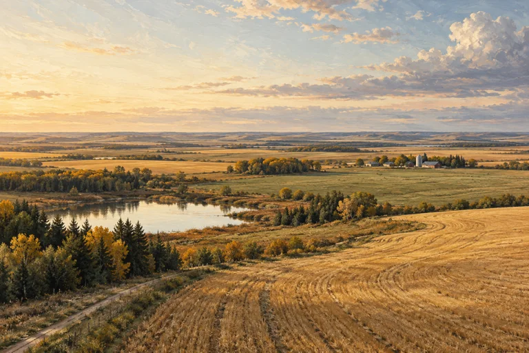
Cultivated land
A field is more than its acreage.
The area on a page is a starting point. The shape, access and evidence behind it tell a more useful story.
Read the study →Original studies of the questions behind a landscape. Read, explore and build a more useful land file.
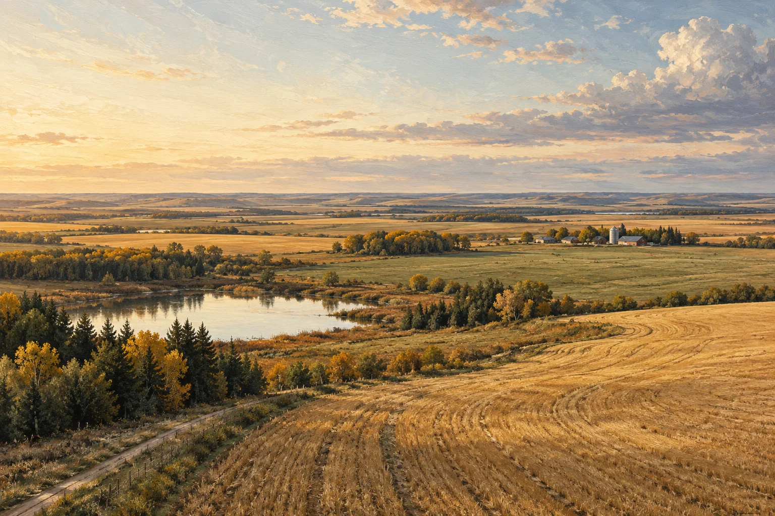
Cultivated land
The area on a page is a starting point. The shape, access and evidence behind it tell a more useful story.
Read the study →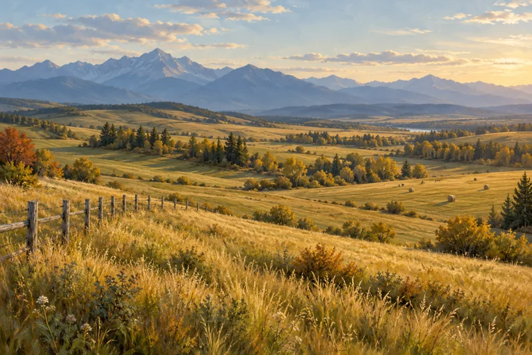
Pasture & mixed land
A fence line and an open view make a compelling first impression. A useful land file asks what sits behind them.
Read the study →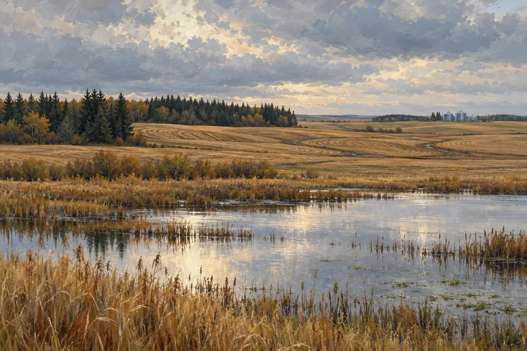
Water & landscape
A low area is a place to ask better questions. Start with the evidence, the season and the scale of the map.
Read the study →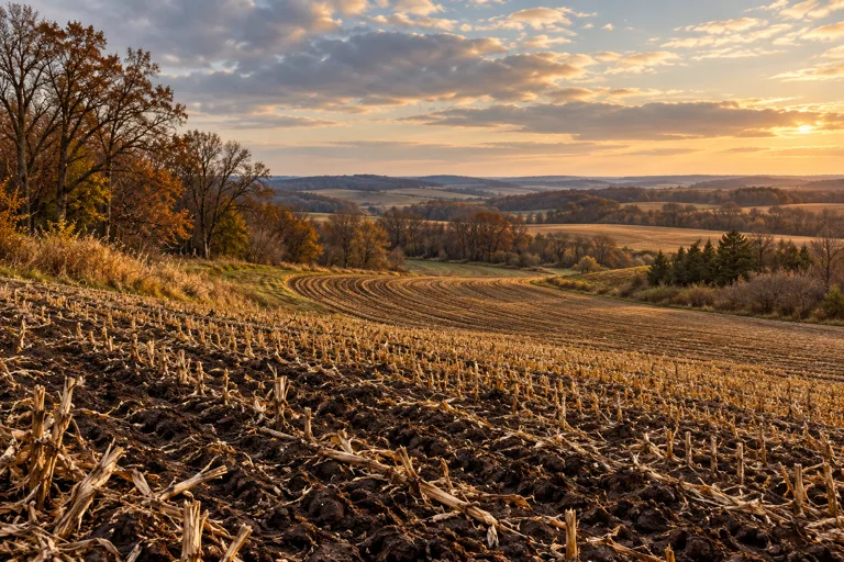
Reading the landscape
A useful first look follows the ground from its high points to its edges. The result is a better set of questions about how a field works.
Read the study →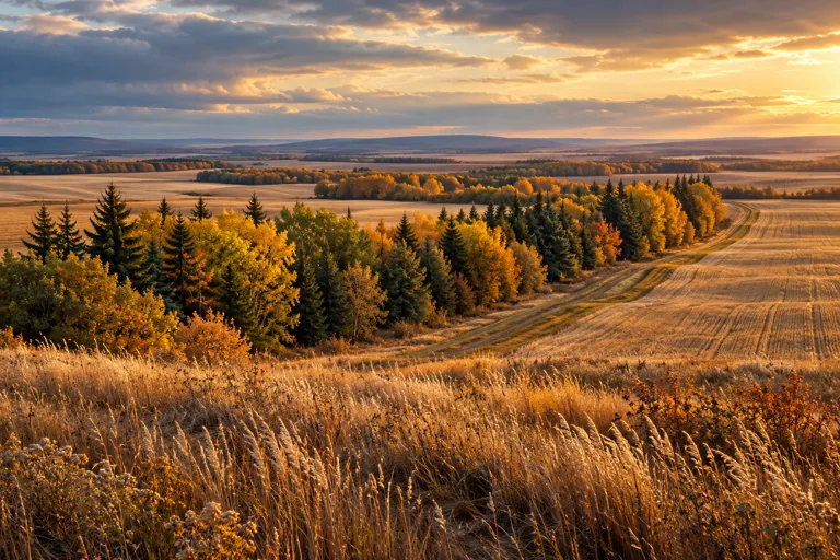
Trees & field edges
Shelterbelts and margins belong in the land story. Read their purpose, condition and working relationships before treating them as empty space.
Read the study →Pasture & water
The way water is reached, maintained and understood can reveal more about a pasture than its greenest photograph.
Read the study →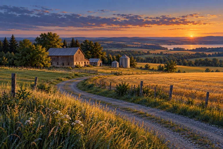
Working access
Follow the route from public road to field, yard and storage. Access becomes clearer when every journey has a purpose.
Read the study →Soil & evidence
Zooming in is easy. Knowing what the original survey can support is the more valuable skill.
Read the study →Farmyards & buildings
Buildings, service routes and maintenance records tell a connected story. Begin with the yard as a working place, then give each structure its own file.
Read the study →These are editorial land studies, not available properties. All landscape art is illustrative.