LAND STUDY / Pasture & mixed land
Pasture, beyond the postcard.
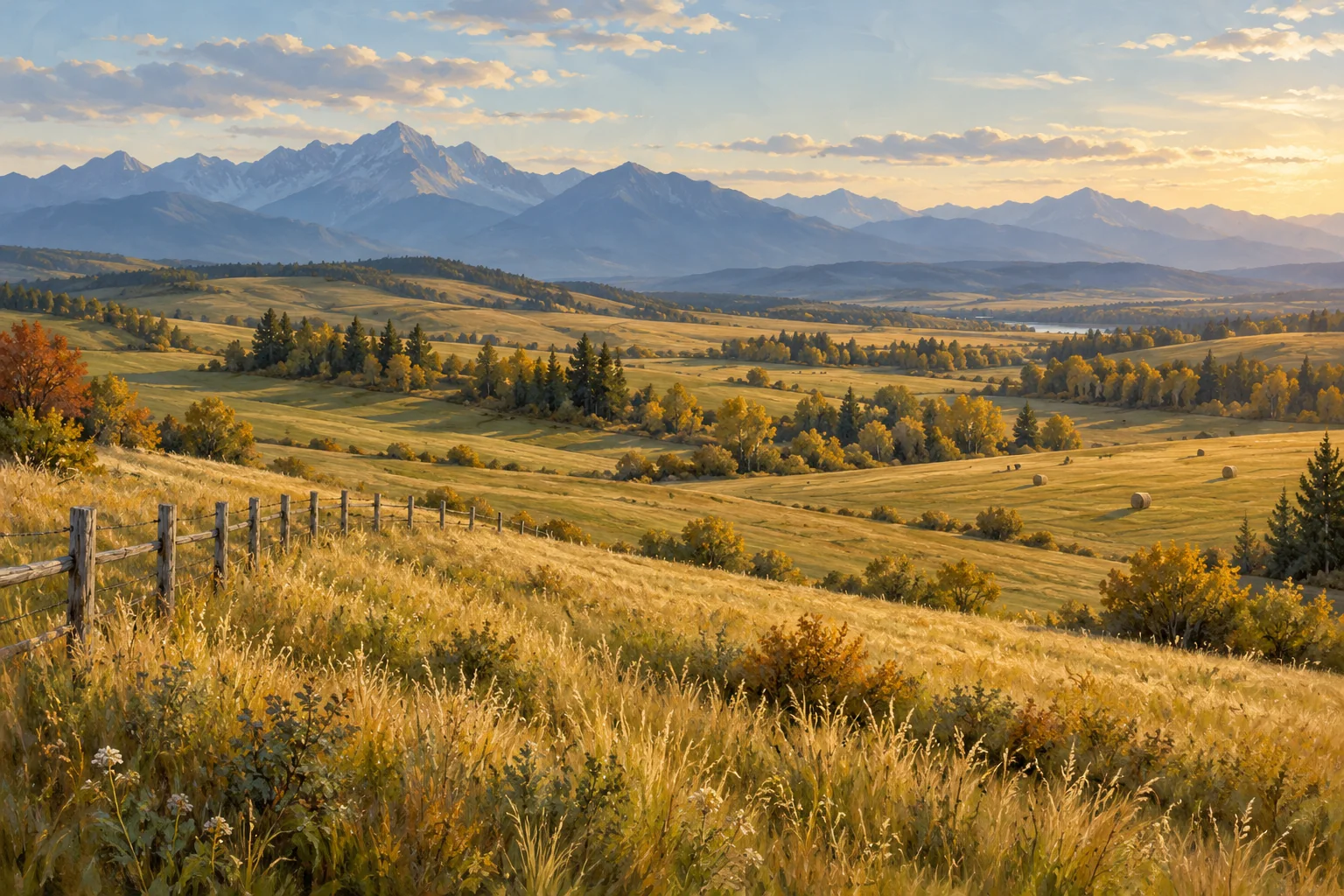
A fence line and an open view make a compelling first impression. A useful land file asks what sits behind them.
Describe the intended use first
An attractive pasture scene can mean different things to a grazing operator, a hay producer and someone seeking a rural home. Write down the use you are considering before interpreting the view. Questions about fencing, water points, seasonal access and handling facilities should follow that use. The landscape itself does not establish carrying capacity or suitability.
Separate fences from boundaries
Record where fences stand, their apparent condition and which gates connect working areas. Treat this as a physical observation. The location of a fence does not by itself establish the legal boundary, access rights, ownership or maintenance obligations. Those are separate document questions for the appropriate professional.
Make water a documented question
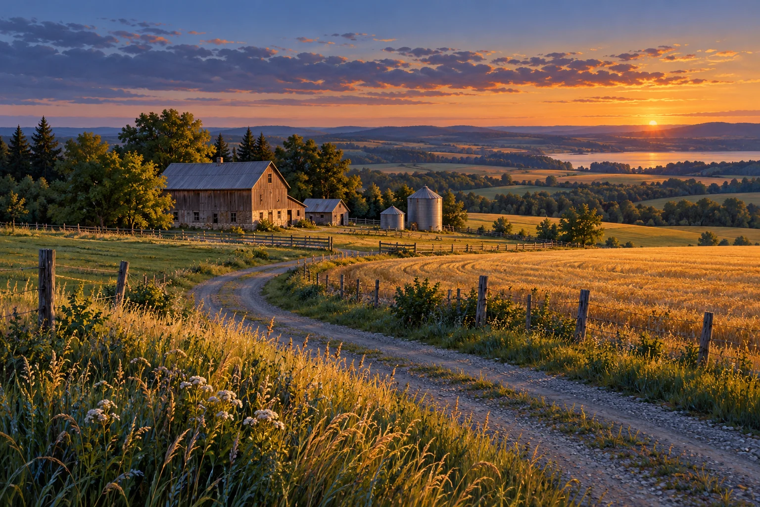
Record each visible water source and ask what information exists about its use, reliability and condition. A pond in a photograph is not proof of water quality, a legal right to use water or an adequate supply through a dry season. Keep observations, test reports, maintenance records and rights documents in separate parts of your file.
Ask about the operating history
Useful records may describe past grazing periods, rest periods, forage work, fencing repairs and the location of water points. Ask who kept the record and when it was last updated. Do not turn a previous operator's account into a guaranteed future stocking rate. A site-specific assessment needs the relevant expertise and current field conditions.
Read the connection between parcels
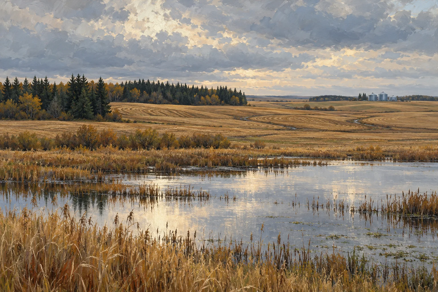
For a mixed operation, the route between a yard, pasture, hay field and public road may matter as much as the view from any one location. Make a simple movement sketch and note where access, crossings or shared use need documentation. A neat sketch is a question list, not a verified access plan.
Take these questions with you
- What intended use are we evaluating?
- Which fences, facilities and access routes are included in the documentation?
- What do the records establish about water, and what remains unknown?
- Which operating claims require a current field assessment?
Open the private comparison worksheet →
Keep exploring
Take the field journal with you →
Sources and further reading
An original editorial explainer with representative illustrations. No particular parcel is offered or assessed.