LAND STUDY / Trees & field edges
The field has an edge for a reason
Shelterbelts and margins belong in the land story. Read their purpose, condition and working relationships before treating them as empty space.
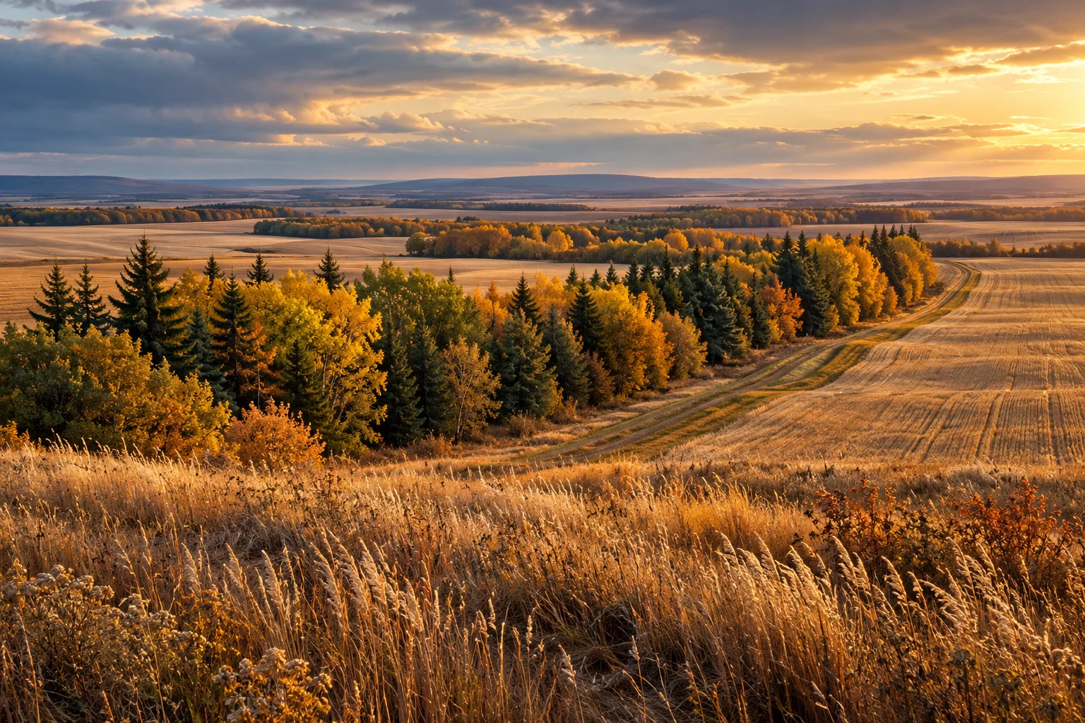
Give the margin a place in the story
A field edge can disappear inside a cropped-acre figure. On the ground, it is a meeting place: cultivation and trees, machinery and a turn, a yard and open land. The useful question is what that edge does. A row of trees might be a planted shelterbelt, part of an older yard, a watercourse margin or several things at once. Start by finding out which story belongs to it.
Describe the whole line
Draw the edge as a sequence rather than one uninterrupted green mark. Note gaps, entrances, adjoining land uses and places where the line changes direction. Give each segment a simple label. Record what can be seen about vegetation and apparent condition without assigning a species, age or health diagnosis from a distant image.
Then ask who established it and why. Are there planting records, maintenance notes or older photographs? Does the current operator describe snow accumulation, wind exposure or access problems near it? An account of purpose is useful evidence when it is attributed and dated. It should remain separate from a present-day assessment of performance.
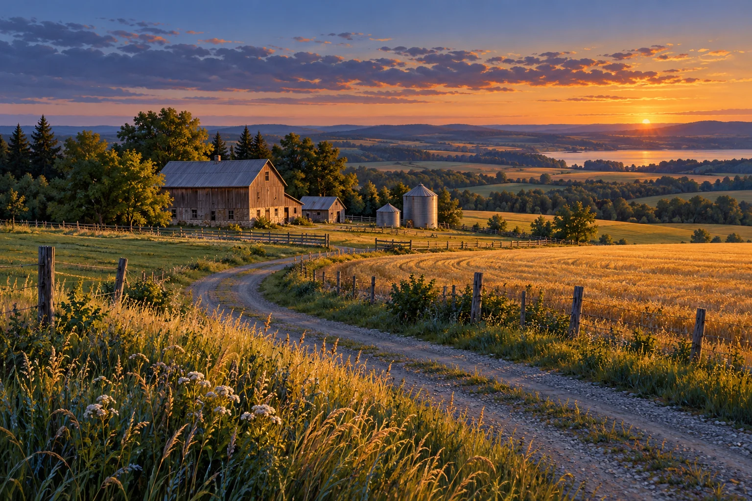
Read protection and operations together
AAFC identifies field shelterbelts as a long-term practice for snow trapping and wind erosion control in dryland cropping systems. Their role is therefore larger than a visual frame around a field. The same line also needs to be understood in relation to entrances, turning space and the operation that uses the land.
Use two colours on the sketch. In one, mark the functions people say the edge provides. In the other, mark the operational questions: where equipment passes, where a gate opens and who maintains each section. This avoids a false choice between admiring the trees and understanding the farm. A good land file has room for both.
An edge is part of a system
Different planted features do different jobs. AAFC distinguishes shelterbelts, trees integrated with cropping or pasture, and perennial vegetation beside watercourses. In its agroforestry research summary, riparian buffer strips are described as helping reduce soil loss, improve water quality and stabilize banks. Those general functions do not establish what an unassessed strip is achieving on a particular farm.
Before proposing a change, gather the practical history. Who is responsible for maintenance? What has been repaired or replanted? Is there a documented boundary, agreement or other restriction relevant to the work? Which questions need an arborist, an agronomic advisor or the responsible authority? The answer may be a programme of care rather than a dramatic intervention.
An appealing edge deserves more than a photograph at sunset. Give it a place in the written record: its apparent form, its documented purpose, its relationship to the field and the questions still open. That is how a narrow line becomes a substantial part of the land's story.
Take these questions with you
- What is the documented purpose and history of each edge?
- Where do entrances and working routes meet the trees or margin?
- Who is responsible for maintenance, and what records exist?
- Which questions need a qualified assessment before changes are proposed?
Open the private comparison worksheet →
Keep exploring
Take the field journal with you →
Sources and further reading
An original editorial explainer with representative illustrations. No particular parcel is offered or assessed.