LAND STUDY / Cultivated land
A field is more than its acreage.
The area on a page is a starting point. The shape, access and evidence behind it tell a more useful story.
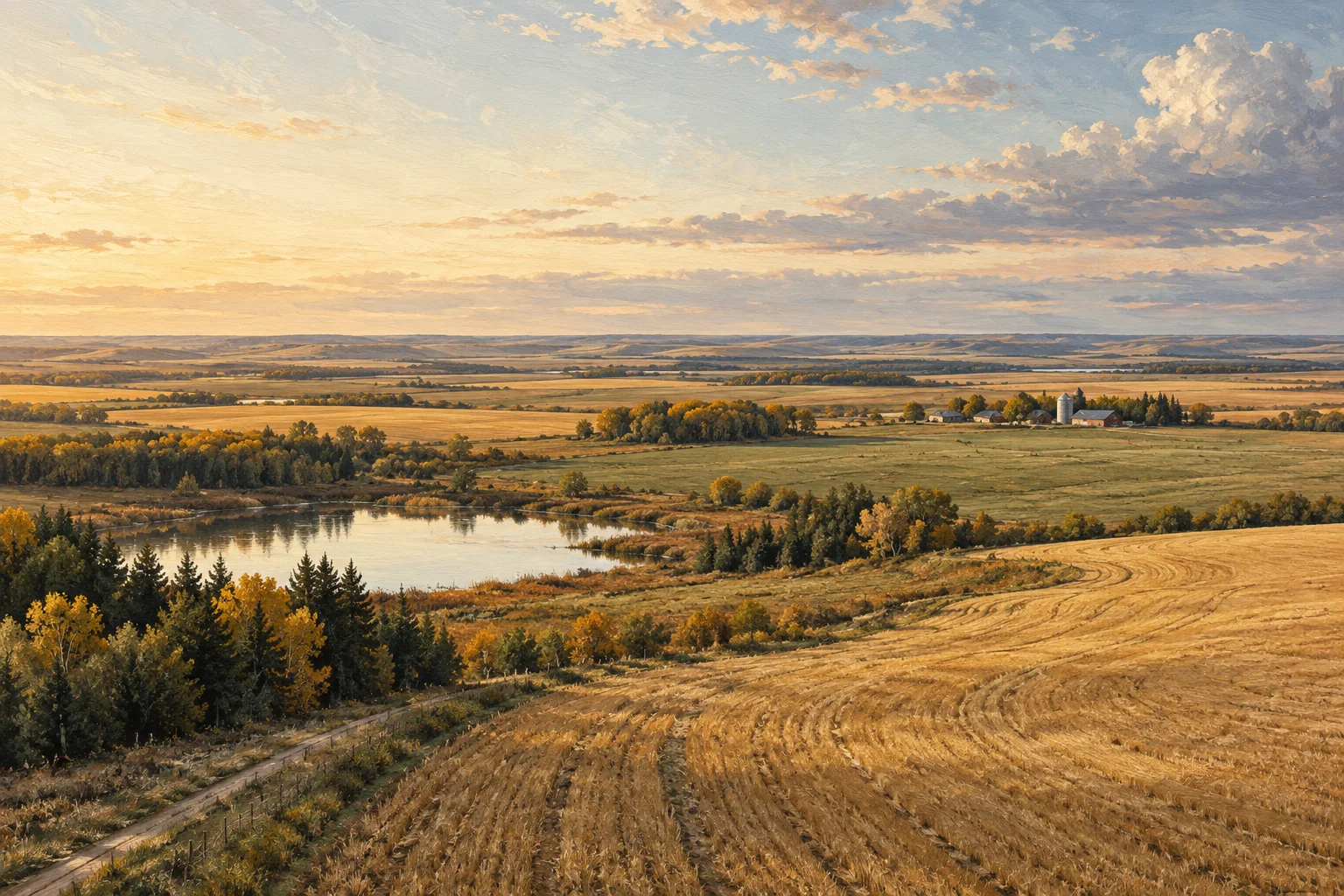
Start with three different questions
What is the legal parcel? What part is described as cultivated? What part can actually be worked in the way you have in mind? Keep those questions separate. A single acreage figure cannot explain field shape, obstacles, seasonal access or the history behind a land-use description.
Walk the edges of the number
On your own sketch, mark approaches, tree lines, low areas, yard sites and the routes between fields. Use separate notes for what you observed and what someone told you. A clear distinction between observation and a claim makes the next conversation much easier. Avoid treating a satellite outline or a rough measurement as a surveyed boundary.
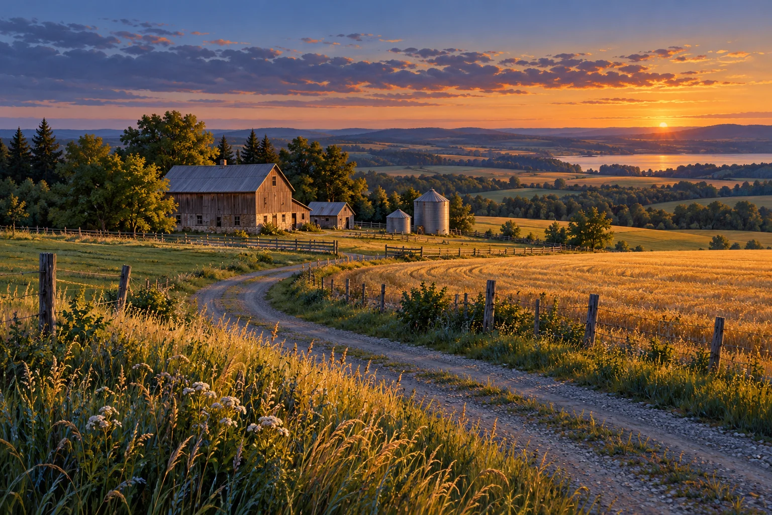
Ask how the field is worked
A parcel that looks simple from above may need a more careful look at turning room, access between blocks and the equipment that has been used there. Ask for a description of field operations, the timing of access problems and how the current operator records cropped area. The useful answer is a documented account, not a promise that the land will suit every operation.
Give each document a job
Use the current title and survey information for questions about the legal parcel. Use soil surveys for regional context at their stated scale. Keep crop records, soil test reports, lease documents and any water or access records as distinct sources. Write down the source date and the question each item can help answer. A soil-map polygon does not certify every location within a field.
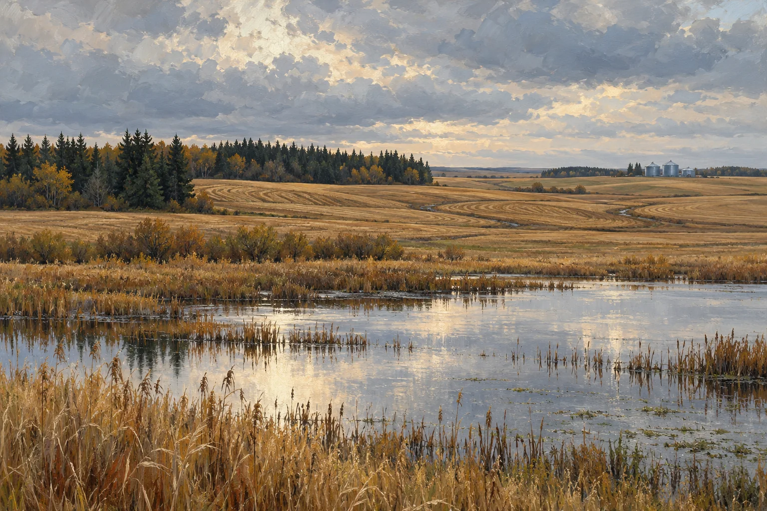
A better first-visit record
Leave a visit with a short list of observations, a second list of unverified statements and a third list of documents still needed. A wet corner photographed in October is an observation at a particular time. It is not a diagnosis of a drainage problem, a calculation of lost acres or evidence that drainage work is permitted.
Take these questions with you
- What does each acreage figure measure, and who produced it?
- Which access routes are documented, and which are simply used?
- What changes with season, field conditions and equipment?
- Which boundaries and land-use statements still need professional verification?
Open the private comparison worksheet →
Keep exploring
Take the field journal with you →
Sources and further reading
An original editorial explainer with representative illustrations. No particular parcel is offered or assessed.