LAND STUDY / Water & landscape
Read the water before the view.
A low area is a place to ask better questions. Start with the evidence, the season and the scale of the map.
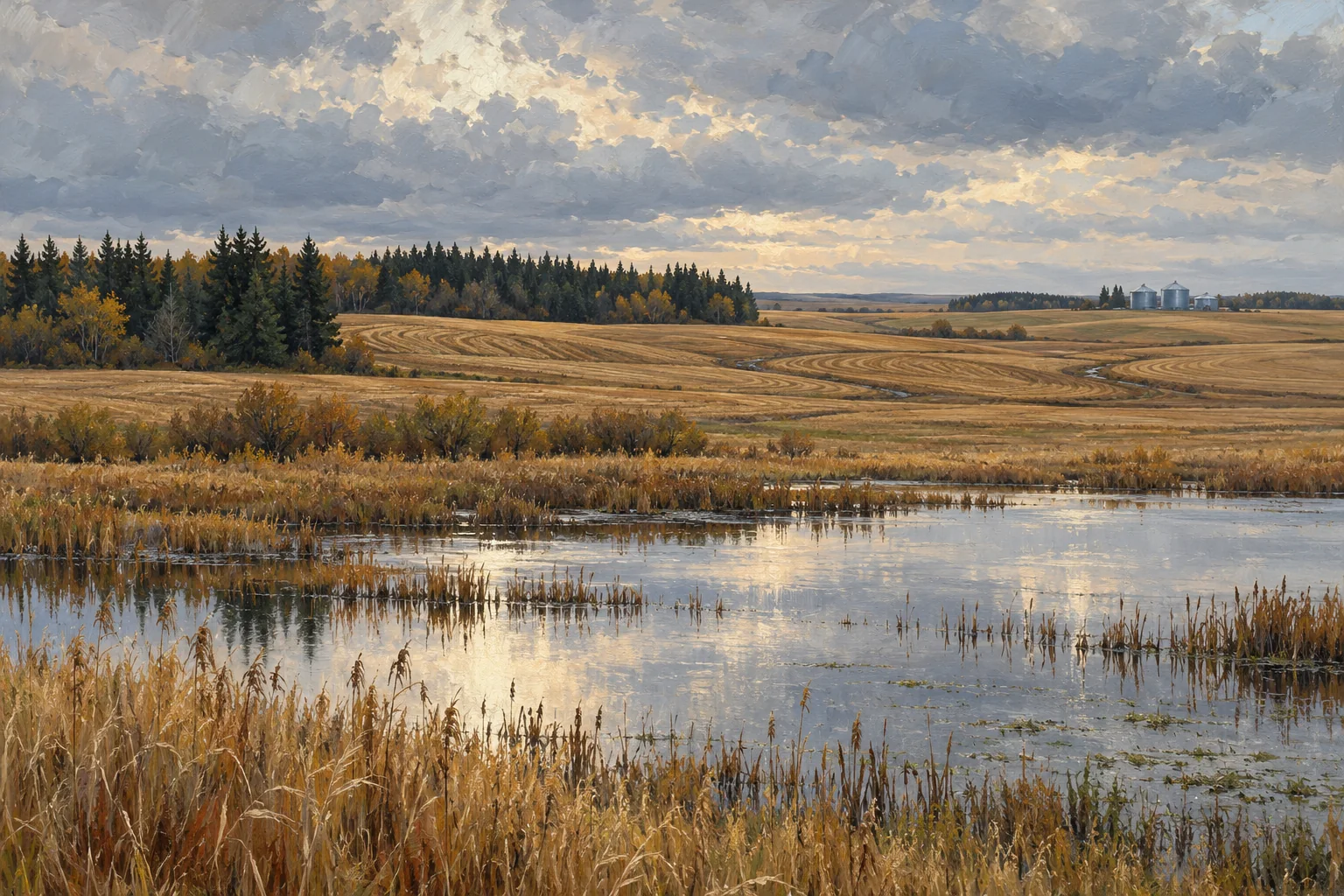
A photograph is one moment
An aerial image captures conditions on a particular day. It may reveal standing water, darker ground, visible tracks or a change in vegetation, but it does not establish the full seasonal pattern. Record the image date and compare it with dated observations and information from people who know the field. Keep gaps in the record visible.
Begin with the map's limits
National and provincial soil maps can help frame questions about terrain, texture and mapped drainage. Read the scale, source date, legend and accompanying documentation. Broad map units can contain several soil components. Do not turn a regional map label into a precise claim about every point on a parcel.
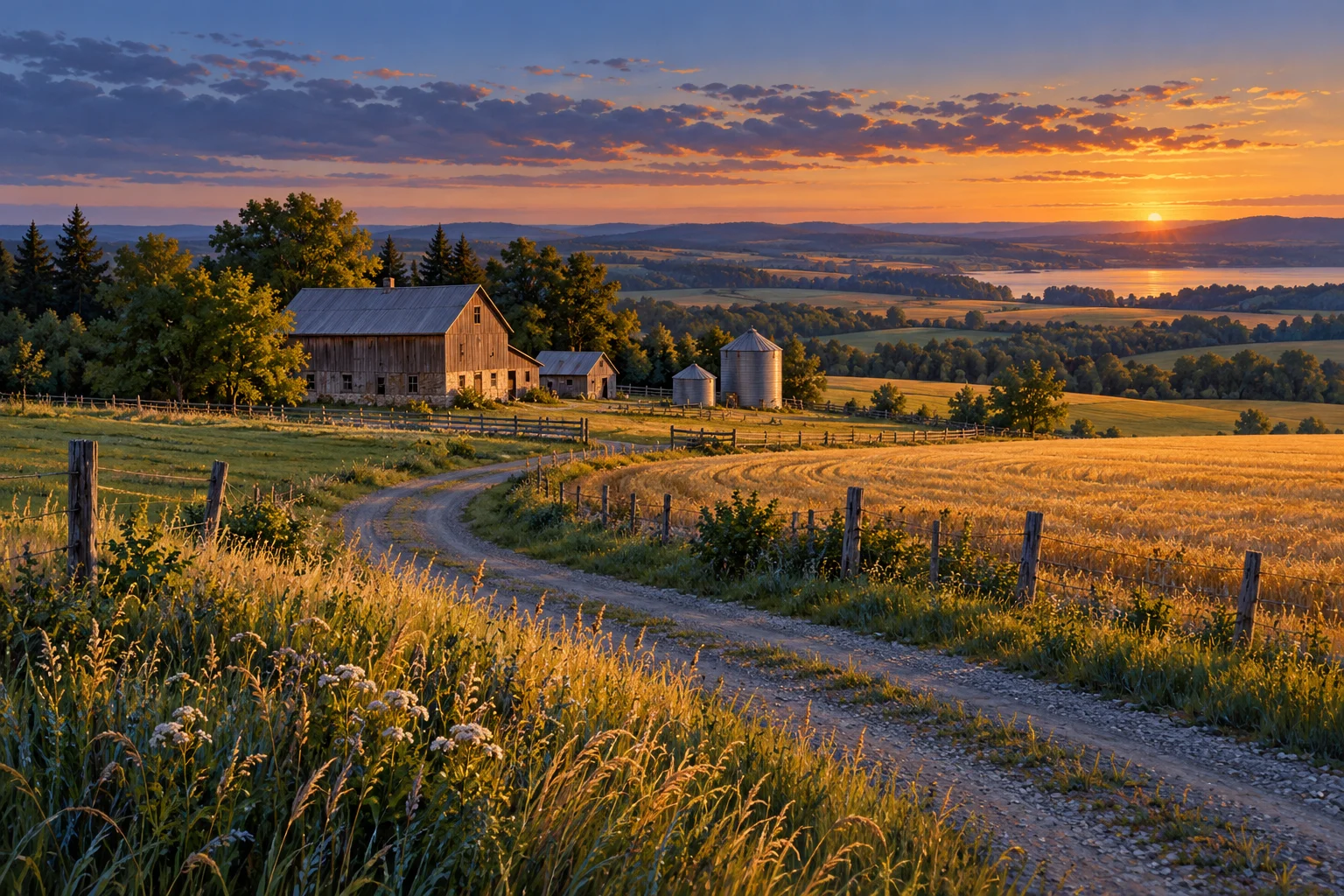
Observe without diagnosing
On a visit, note where water is visible, where access is difficult and what the surface looks like. Describe the conditions and date. A simple note such as 'standing water beside the approach after rain' is more useful than an unsupported conclusion that a parcel has a specific defect or that one intervention will fix it.
Keep physical conditions and permissions separate
A visible ditch or an old drawing can raise questions about how water moves and what work was done. It does not establish ownership, authorization, maintenance responsibility or permission for new work. Gather the relevant records and have the appropriate professionals and authorities answer the site-specific questions before planning a change.
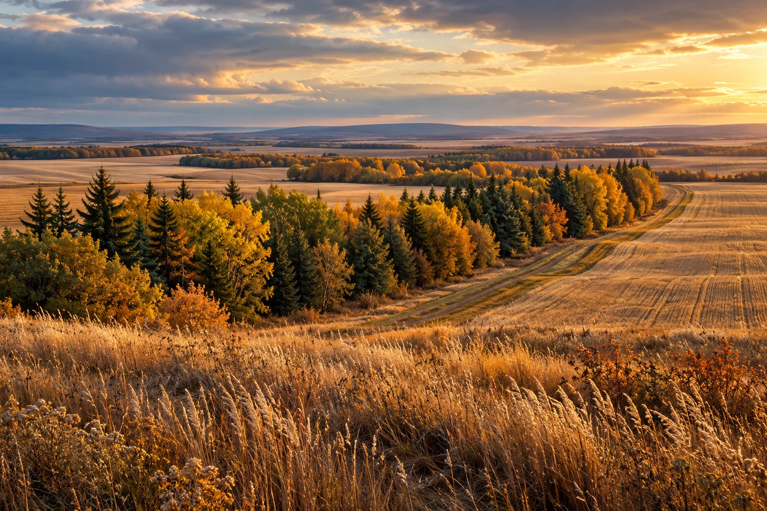
Build a seasonal evidence page
Create a timeline with dated images, operator observations, reports and any records of past work. Put a source beside each entry and mark missing periods. A transparent timeline helps an advisor decide what to investigate next. It should not be presented as a drainage design, an environmental assessment or a prediction of future conditions.
Take these questions with you
- When was each observation made?
- What scale and date apply to the map?
- Which statements are observations, interpretations or verified records?
- What permissions, assessments and seasonal evidence are still needed?
Open the private comparison worksheet →
Keep exploring
Take the field journal with you →
Sources and further reading
An original editorial explainer with representative illustrations. No particular parcel is offered or assessed.