LAND STUDY / Reading the landscape
Read the shape before the acreage
A useful first look follows the ground from its high points to its edges. The result is a better set of questions about how a field works.
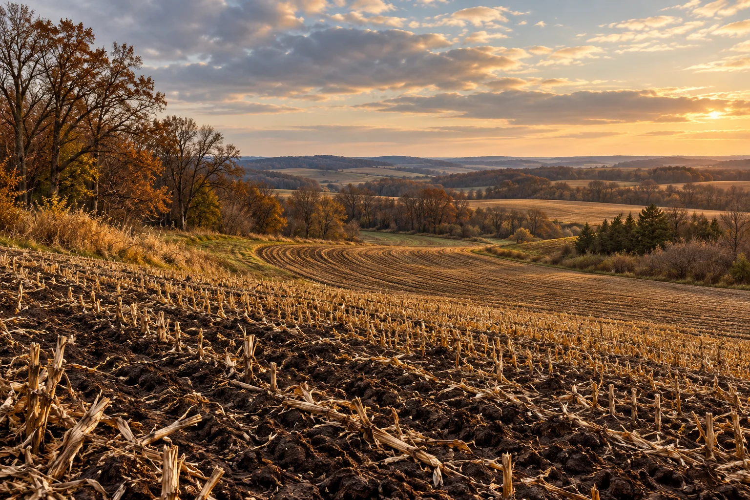
Read the ground as a connected place
An acreage total puts a boundary around a conversation. The shape of the ground gives the conversation somewhere to go. Before deciding what a field might become, try describing how its parts connect: the higher ground, the long slope, the hollow, the approach and the strip that joins one working area to another. This is a way to make a first look more attentive. It also makes the next map, photograph or record easier to understand.
Begin with a route across the ground
On a copy of an aerial image, draw a simple line from the apparent high ground toward the lower ground. Add a second line between the entrance and the farthest working area. These two journeys ask different questions. One follows the landscape; the other follows the work. Where do they cross? Where does a movement route pass through a low area? Where would a gate, tree line or narrow connection become important?
Keep the sketch simple enough to explain aloud. Mark visible features rather than filling every blank with an interpretation. A pale patch, an uneven crop or a bare strip is something to investigate. The photograph alone does not tell you which process created it.
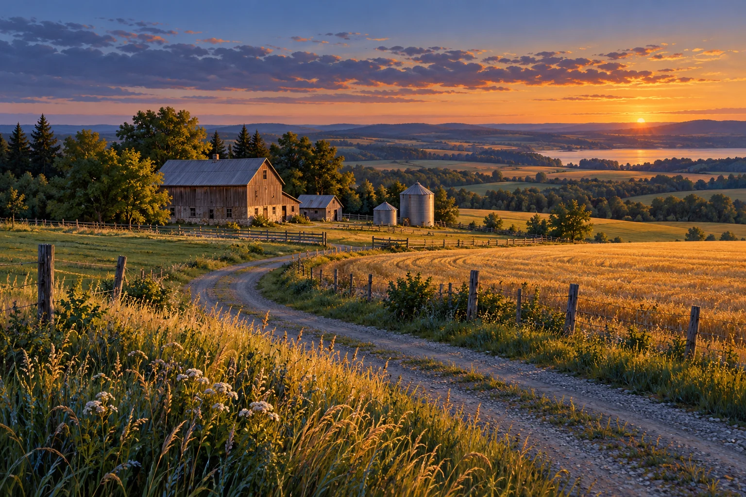
Notice the transitions
The edges between landforms deserve attention. A field is not necessarily uniform from its crest to its lowest point. Agriculture and Agri-Food Canada's soil erosion guidance distinguishes movement by wind, water and tillage, and explains how these processes interact with landform and field management. That is a reason to ask about slope positions separately, rather than assigning one condition to an entire field.
For each transition, write one observation and one question. For example: a change in visible surface cover; a question about how that area has been managed. Avoid converting the observation into a cause before the evidence arrives. This small discipline produces a much more useful conversation with the person who knows the field.
Give time a place on the page
Pair the sketch with dates. Note when an image was taken, when a visit occurred and which season is missing from the record. Ask for contrasting views where they exist: before cultivation, during a wet period or after harvest. A well-labelled sequence can be more informative than a single beautiful aerial image.
AAFC's dryland cropping guidance notes that soil-moisture conditions can vary within a field with slope position and soil texture. Its discussion reinforces the value of local evidence alongside regional information. It does not turn an attractive view into a prediction of next season.
Finish the page with three questions you can actually pursue. What explains the transition? What changes through the year? Which record or qualified assessment would help? A strong first reading does not settle the land's future. It shows where a more serious investigation should begin.
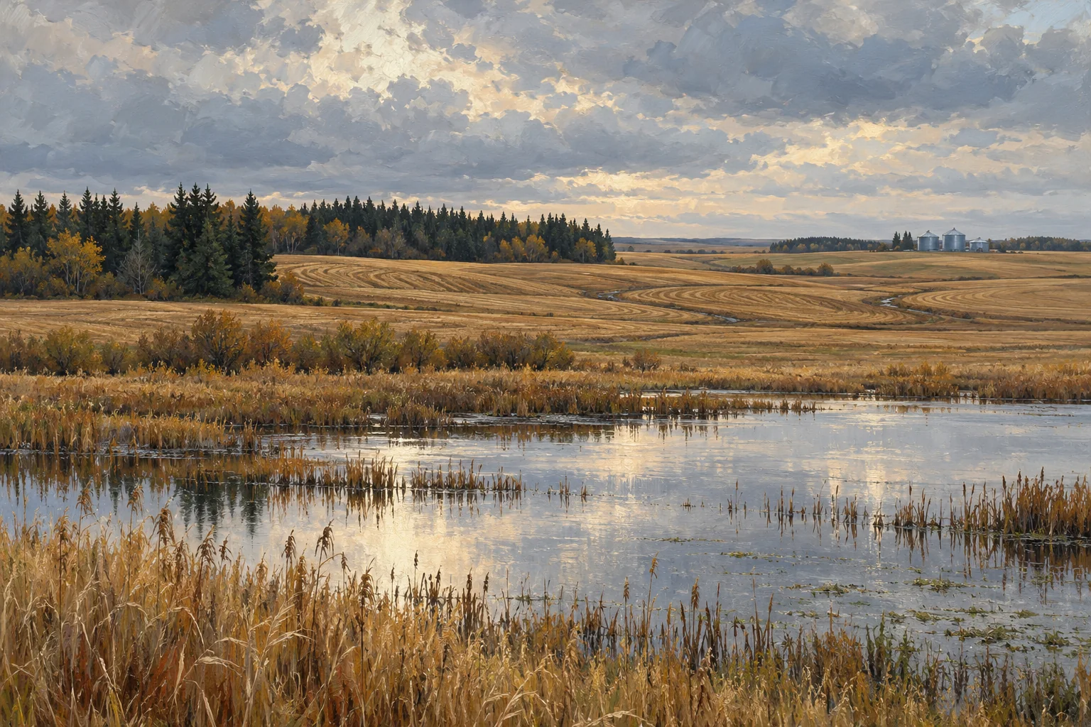
Take these questions with you
- Which landform transitions deserve separate observations?
- When were the images and field observations made?
- How does the working route relate to the shape of the ground?
- What evidence would help explain the changes across the field?
Open the private comparison worksheet →
Keep exploring
Take the field journal with you →
Sources and further reading
An original editorial explainer with representative illustrations. No particular parcel is offered or assessed.