LAND STUDY / Pasture & water
Follow the pasture to the water
The way water is reached, maintained and understood can reveal more about a pasture than its greenest photograph.
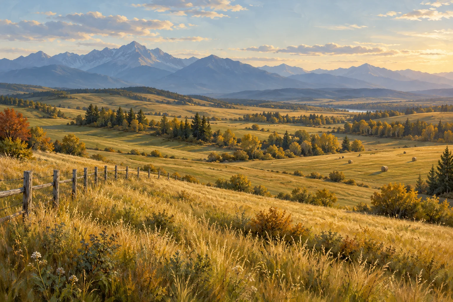
Start at the source
A pasture photograph is usually composed around the open view. A useful working sketch begins with the water. Mark the source, the delivery route, the drinking point and the path animals would take between them. Add gates, paddock divisions and areas where a vehicle would need access for maintenance. Suddenly the pasture becomes a connected place rather than a single expanse of green.
Separate supply from delivery
A source and a functioning supply are different parts of the same question. Ask what records exist for each well, dugout, pipeline, pump and trough involved. Which parts are included with the land? Which depend on a neighbouring parcel, a service arrangement or someone else's equipment? Who has maintained them, and what work has been recorded?
Build a source-by-source page. Put the physical description at the top, then dates, test reports and maintenance information below. Leave space for unanswered questions about seasonal reliability and the needs of the proposed operation. A volume estimate or an operator's account is most useful when its method and date are clear.
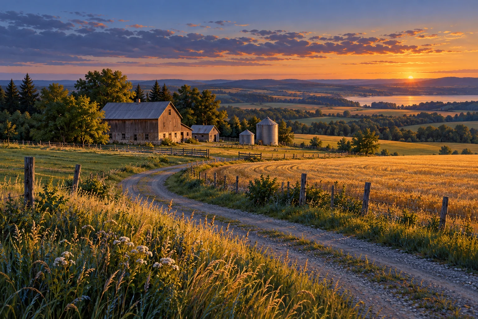
Give water quality its own evidence
Clear water is a visual impression. Suitability for a use needs different evidence. Alberta's agricultural water guidance explains that the testing purpose determines which parameters are useful, and that surface-water quality can change over time. A dated baseline helps make later change easier to understand.
When reviewing a report, note the sample point, collection date, intended use and the laboratory's information. A result for one source should not silently become a statement about every water point on the property. Ask the relevant specialist what the existing results establish and whether further sampling is appropriate. Keep the original report with the summary so that the numbers retain their context.
Look at the route, not just the trough
Draw how livestock reach water from each grazing area. Where are the gates? Where do routes converge? What information exists about use through wet periods or dry seasons? These questions can expose gaps in a sketch before anyone starts discussing a stocking figure or an improvement budget.
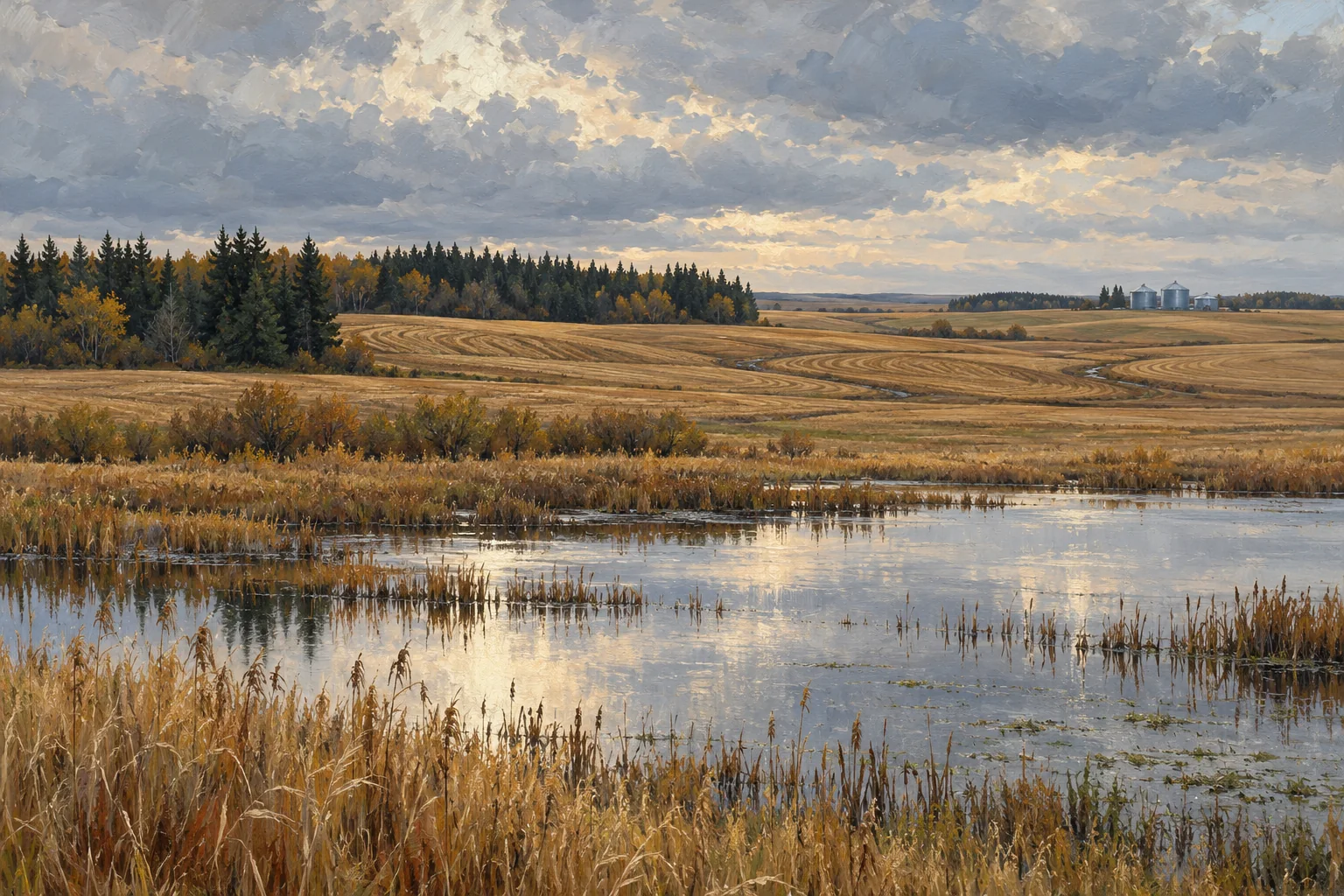
Water-adjacent land deserves its own attention. Alberta describes riparian areas as lands beside streams, rivers, lakes and wetlands whose vegetation and soils are strongly influenced by water. The province also notes their sensitivity to disturbance and the need for management suited to these areas.
A useful pasture file ends with a connected picture: where water originates, how it reaches the animals, what evidence supports its intended use and which parts of the route need closer attention. That picture will not supply a stocking rate. It will help the next knowledgeable person answer a better, more specific question.
Take these questions with you
- Which source, delivery system and drinking points serve each grazing area?
- Where and when was water sampled, and for which intended use?
- What do the records show about maintenance and seasonal reliability?
- Where do livestock routes meet water-adjacent areas that need closer attention?
Open the private comparison worksheet →
Keep exploring
Take the field journal with you →
Sources and further reading
- Alberta: Water analysis for agricultural and rural residential uses
- Alberta: Grazing and range management — riparian areas
An original editorial explainer with representative illustrations. No particular parcel is offered or assessed.