FARMING LAND / PROVINCIAL GUIDE
Manitoba farmland: water, working ground and the record of a season
Make room for time in the land file. Manitoba's public mapping tools help organize soil and landscape questions, while dated observations show what a particular visit can add.
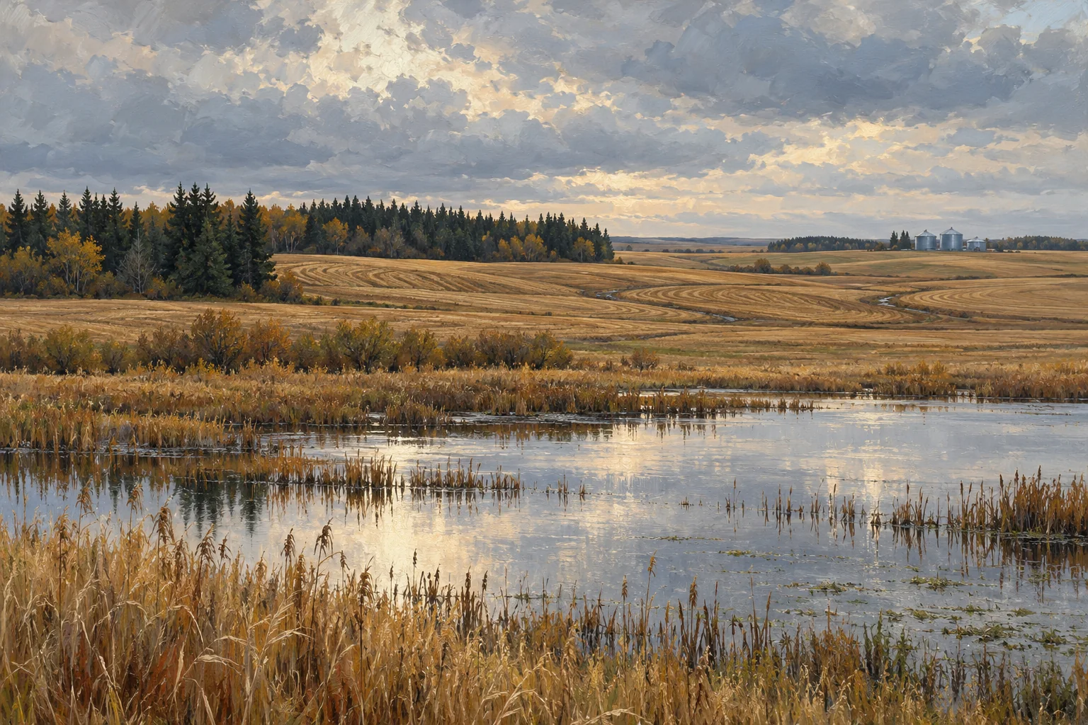
Start with a seasonal page
A field viewed on one day can leave a very strong impression. The first task is to give that impression a date. Note when an image was taken, when a visit occurred and what recent conditions are known. Then list the seasons or periods that are absent from the account. A missing part of the year is a useful question, not an invitation to supply a reassuring story.
For a Manitoba land enquiry, place this seasonal page at the front of the file. Add the features you want to understand: low ground, routes into a field, a watercourse, a pasture water point or a yard connection. The page will guide which mapped layers to open and which records to request next.
Use AgriMaps one question at a time
Manitoba Agriculture's mapping page links to AgriMaps and describes access to soil-survey data and interpretations such as surface texture, drainage, agricultural capability and irrigation suitability. The application can locate land by legal description, display information, measure, annotate and print a map. Those tools make it possible to prepare a focused working page rather than a collection of unlabelled screenshots.
Start with one theme. Save the relevant view with its legend and source details, then write the question it helps explain. Change themes deliberately, keeping a note of what changed. The appearance of the same place under several layers is an opportunity to understand their different meanings; it is not a reason to combine them into a single homemade score.
Keep capability, productivity and suitability distinct
Manitoba's interpretive-maps resource explains several ways of reading soil information. Agricultural capability, productivity and suitability answer different questions. A label from one system should therefore keep its own name and definition when it enters your notes.
Before comparing two places, check that the comparison uses the same interpretation and unit. Ask whether a displayed result concerns a soil polygon, a broader landscape or another reporting unit. Write down the purpose of the classification. This can prevent a regional description from quietly becoming a yield promise or a map label from becoming a recommendation for a particular change. Use the explanatory material to frame the discussion with an advisor, alongside the current records and the intended use.
Follow the water through the account
Choose a visible water feature or low area and describe the evidence around it. What is visible, in which image or visit, and at what date? What does the operator's account add? Are there dated reports, drawings or maintenance records that help explain the feature? Keep each kind of information identifiable rather than turning them into one confident sentence.
Then follow the working relationship. Does the question concern access, a crossing, a watering point or an area that is used differently through the year? A simple sketch can help locate the conversation. Physical conditions and the permission for any proposed work are separate parts of the file. Gather the relevant current records and direct those questions to the responsible authority or professional.
Connect the map to a practical visit
Print or export only the views that will help the visit. Leave space beside each for the date, the conditions, an observation and the question that follows from it. A useful note describes what was seen without claiming to diagnose its cause: where water was visible, where surface conditions changed, or which approach was being used.
Ask the person who knows the land to explain how an ordinary task changes through the season. Which route is taken? What records show past maintenance or management? Which part of the account can be checked now, and which needs another time of year? This turns a visit into a contribution to the evidence rather than a substitute for it.
Finish with a timeline someone else can read
Bring together the seasonal page, the selected AgriMaps views, the operator's account and the visit notes. Arrange dated items in order. Give undated information a separate place until its timing is established. If two sources disagree, preserve both and describe the difference in plain language.
The result should make the next professional conversation more efficient. An advisor can see the interpretation being discussed, the observations already made and the gap that still matters. Your own view of the landscape can remain part of the story without carrying the weight of a technical assessment. A Manitoba land file becomes more convincing when water, working ground and time are documented together, with enough clarity for another person to follow the reasoning.
Questions to take into the next conversation
- Which seasons and dates are represented, and which are missing?
- What does each mapped interpretation measure, and at what unit or scale?
- How do visible water features relate to the work and access being considered?
- What would a dated record or a second visit help explain?
Primary resources
- Manitoba Agriculture: Land map viewers and AgriMaps
- Manitoba Agriculture: Understanding soil interpretive maps
An orientation to the landscape and public resources. The illustrations do not depict a particular property; current parcel facts and applicable requirements need their own verification.